THE LIVE KRETA · Earth & coast
Earthquakes and the changing coasts of Crete
From the Hellenic subduction zone to the debate on 365.
Added: · approx. 6 minutes read · 9 chapters
1. A coast that is not a fixed measuring bar
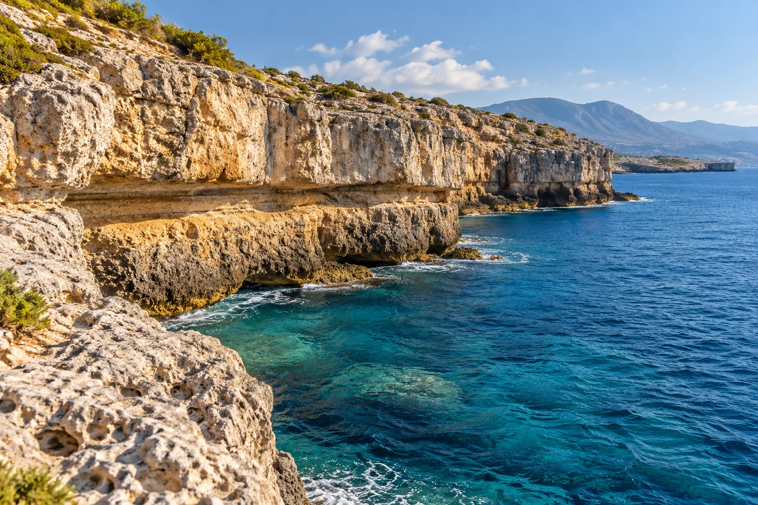
At sea, the border between land and water seems self-evident. In Crete, that border is part of a dynamic landscape. Movements of the earth's crust, changes in sea level, wave action and sediment transport can determine together where a former coastline is now. Anyone who sees an old port above the current water is therefore faced with a research question: what part of the difference is caused by the country, which part by the sea and which part by local processes?
This file describes the geological background and uncertainties in historical research. It gives no prediction of a next quake and no assessment of the safety of a particular building. Other information and competent experts are needed for this.
2. Crete to the Hellenic subduction zone
South of Crete, the African plate falls below the Aegean. That's what geologists call subduction. The wider region is not described by one simple movement: there are different fault systems and within the upper crust there can also be stretching and distortion. A quake near Crete therefore does not have to lie automatically on the contact plane between the large plates.
UNESCO describes for Psiloritis how tectonic processes contribute to lifting, crumbling and forming the landscape. That's a geological background for our story. The wording that Crete is moving is not a timetable for a separate earthquake. Slow distortion and sudden shift are different parts of the same research field. [1]
3. What happens in a quake
An earthquake occurs when stored voltage is suddenly released by shifting along a fracture. The energy is spreading like waves. The place where the fracture movement begins is located in the subsurface; the epicenter is the point above the surface. The reported magnitude and the locally felt intensity are different concepts. A number about energy is not the same as a description of the effects in one street.
These effects are related to distance, depth, subsurface and buildings. Therefore, do not compare travel experiences as if a magnitude produces the same shock everywhere. Also, a series of small tremors cannot be converted by a visitor into a reliable expectation of another major event. Official scientific and civil information remains the right starting point for this.
4. The famous event of 365
The earthquake and tsunami of 365 constitute an important benchmark in the study on the Eastern Mediterranean. An influential study from 2008 Connected radiocarbon data and field observations to significant lifting of West Crete around this event. The authors also investigated the fracture mechanism that could explain the observations. [2]
A study from 2021 re-evaluated those interpretations and developed an alternative in which different fractions and possibly more than one event play a role. That makes the story more interesting than the simple phrase that all of West-Kreta went up exactly as many meters in one day. The visible traces are real; the precise allocation to events and mechanisms remains the subject of research. [3]
5. Falasarna as a demand for the landscape
The old port environment of Falasarna is a well-known point of reference in the discussion about changing coastal heights. For a visitor, the value is mainly didactic: a port and the current sea may have fallen spatially apart. To explain that difference, however, you need topography, dating and archaeology, not just a photo of a ruin and an estimated distance to water.
Coastal clearance research compares several places. A single location can give a misleading picture due to particular local circumstances. A publication on a longer coastal route shows how scientists place spread, altitude and dating side by side. This file does not take over actual surveying heights as walking instruction. [4]
6. Recognize old coastlines without concluding too quickly
A horizontal notch in rock can be a reason to think of past wave action. Attached organisms, deposits and a pattern that comes back over more locations can provide additional information. But not every line is a coastline. Stone layers, erosion along a weak zone and human processing can also cause horizontal forms.
Therefore, work again with the distinction between observation and interpretation. Note that a dark band runs over the current water. Then add the possibility that it is a former coastal zone. Without research, you cannot reliably determine when that band was formed or how many events caused the height difference.
7. Relative sea level: two moving parts
| Process | What changes? | Possible visible effect |
|---|---|---|
| Elimination of land | The land is higher than sea | Previous marine spores above water |
| Land decline | The land is lower than sea | Former underwater lands |
| Change in sea level | The sea changes from a reference level | A shifting coastal position |
| Erosion or deposition | Change the shape and quantity of coastal material | Another beach or port environment |
In reality, processes can occur simultaneously. The table is a help and not a diagnosis of a specific Cretan bay.
8. Tsunami: related but not synonym
Not every earthquake causes a tsunami. A tsunami requires a process that moves a large amount of water, for example certain sea floor movements. The consequences on a coast then depend on more factors than the distance to an epicenter. That's why we don't use simple homemade danger zones or universal arrival times.
For action we refer to the Greek civil protection. It advises to look for protection under a sturdy furniture when shaking indoors and not run out or into a balcony during the shocks. Afterwards, follow the instructions of the authorities. On a low coast there is a strong or prolonged shock or striking retreating sea to immediately go higher and inland; do not wait to photograph. Return only when the competent services declare it safe. [5]
9. Historical knowledge is not a prediction
The value of the geological archive lies in a better understanding of long-term processes and risks. An old coastline is not a calendar. An article on 365 gives no reason to calculate a next year. We therefore do not publish statements when it is time again for a big quake.
Connect this file to the geoparks, the drinking water story and the old maps. Stone not only affects mountains and springs; it also forms the subsurface of settlements. At the same time, the history of scientific explanations shows why a knowledge guide should keep uncertainty visible instead of covering it with one definite story.
Sources and read on
Sources consulted for this edition on 30 October 2026. Historical publications and dated project descriptions are not a live state of affairs. The practical questions of viewing and research are our editorial reader.
- Psiloritis Psiloritis
- Shaw and Others ( 2008 ), Nature Geoscience "interpretation of the event of 365 ↗
- Ott and Others ( 2021 ), AGU Advances Re-evaluation and Alternative Fracture Interpretation
- Mouslopoulou and Others ( 2015 ), Geophysical Research Letters.. tectonics and coastal lifting...."
- Greece's civil protection... official instructions..."..