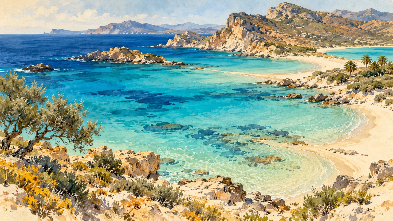
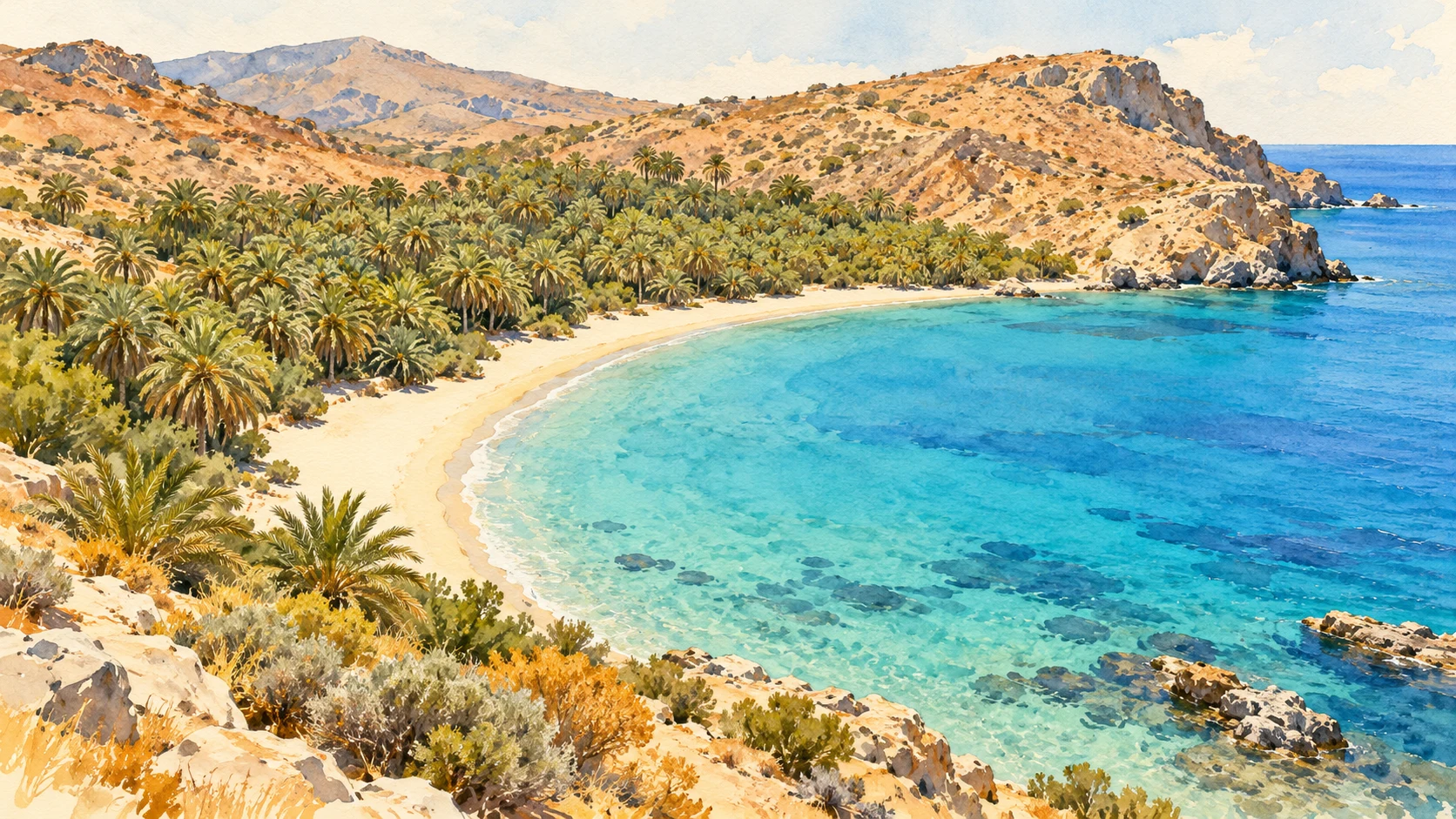
Twenty different coastal landscapes, from the lagoons in the west to the bays of the far east. Choose your beach on landscape, region and the access that suits you.
Οι παραλίες της Κρήτης
AI illustration · artistic impression, no photo, exact map or scientific reconstruction.
Selection
20 beaches and coastal sites
Regions
Chania · Rethymno · Heraklion · Lasithi
Insert
Landscape, accessibility & nature
Ranking
Editorial choice · no objective top 20
The numbers help to find them and do not give a ranking. Xerokampos is represented here by Mazida Ammos; the dune coast of Agios Pavlos is one selection. The illustration at the top is a made-up combination of coastal characteristics.
CHANIA
Chania · the beaches
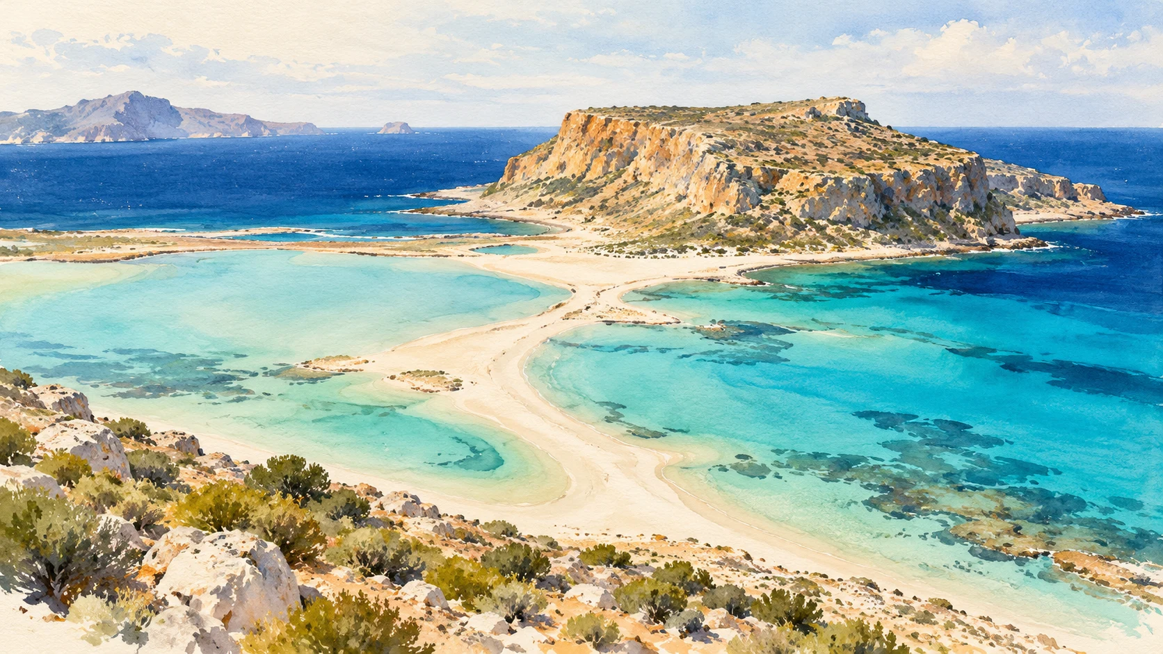
AI-Illustration · inspired by the lagoons of West Crete. Artistic impression, no exact terrain view.
CHANIA
01 · Balos
Μπάλος
Balos is a landscape of sandbanks, shallow areas of colour and an open sea horizon on the northwest side of Crete. The attraction is in the whole: the transition between land and water seems almost painted from above. It is a beach to first see and only afterwards to find a lying spot.
Choose in advance between a boat connection and the route by land. Check with the chosen carrier or landlord what is possible and allowed; also plan the way back. Our suggestion: spend a day on this area and don't add a distant coastal destination. This leaves time for the landscape instead of just the well-known overview photo.
At Elafonisi, light sandbanks, clear shallow water and local pink sandy edges determine the image. The pink shade is not an even carpet that is equally visible every day; light, water and deposition change the impression. The dunes and coastal vegetation are as much part of the spot as the water.
Our choice for a beautiful day: first see where the allowed paths run and then find a place within the visitor area. Leave sand and shells and respect deposits. If you want to read longer, find more about nature, the lagoon and preparation for a visit in our existing reportage.
Falassarna is the large, open west coast: a series of beaches with sand, turquoise water and plenty of horizon. Pachia Ammos is the most famous main beach. In the vicinity are also remains of the ancient city of Falasarna. The combination of a vast coastline, evening light and history makes this one of our favorites.
The open location makes the wind part of the experience. Choose the day based on the current circumstances and consider nice weather on a photo not as a prediction. You can also come here to walk along the water and see the light changing. For a quiet day one beach area is sufficient; the whole coast does not need to become a route with mandatory stops.
Kedrodasos is located near Elafonisi and combines sand, rocks and a characteristic coastal forest of juniper berries, often referred to as cedar forest. The landscape has a different scale than a promenade beach: trees, open sand and rocky ridges determine where your attention goes. Nature is the main reason for our choice here.
Treat the trees and dunes as vulnerable living environments. Place things outside the vegetation, do not fire and do not break down branches for shade or convenience. Take what you need and do not count on a complete beach setting. Check local access and fire risk messages before planning a walk. Choose the existing allowed paths, even if a shorter line through the sand seems tempting.
Seitan Limania, also known as Stefanou or Agios Stefanos, is located on the east side of the Akrotiri peninsula. It forms a narrow blue cove between high rock walls. As a result, the bay feels more like a cut-out passage in the rock than a wide coastal strip.
The route down requires a different preparation than a beach along a village. Explore the current path condition and choose footwear and luggage on the descent and climb back. Those who have difficulty with steep, uneven paths should make a different choice of beach. A narrow bay can also feel full quickly; plan space to deviate without failure of the day.
Marathi is located on the southeastern side of Akrotiri and consists of two sandy beaches near a small harbour. The municipal guide describes the relatively sheltered location and shallower coastal zone. The attraction is here in the human scale: bay, settlement and water are close together. It is a different beauty than that of a remote canyon.
Our suggestion: reserve time for a meal in the area and keep the beach day simple. Check out the spot where you swim and where boat traffic takes place. Coverage remains dependent on the wind direction and is no guarantee for quiet water. Just when convenience is important, it pays to check in advance which facilities are actually available during your season.
Glyka Nera, the sweet or fresh waters, is located west of Chora Sfakion. The name refers to freshwater springs by the sea. The combination of a narrow pebble strip and steep mountain slopes makes the southern coast here particularly directly palpable: you sit between rock and open water.
The regional information calls access by boat or by coastal paths. Choose what suits your experience and weather and have a boat schedule confirmed for the return trip. A boat connection is not a daily guarantee under all circumstances. Do not take the coastal path for a spontaneous walk with sandals; assess the entire way back and forth. For us, this place belongs to a relaxing stay in Sfakia, with sufficient time to experience the mountain land and the sea together.
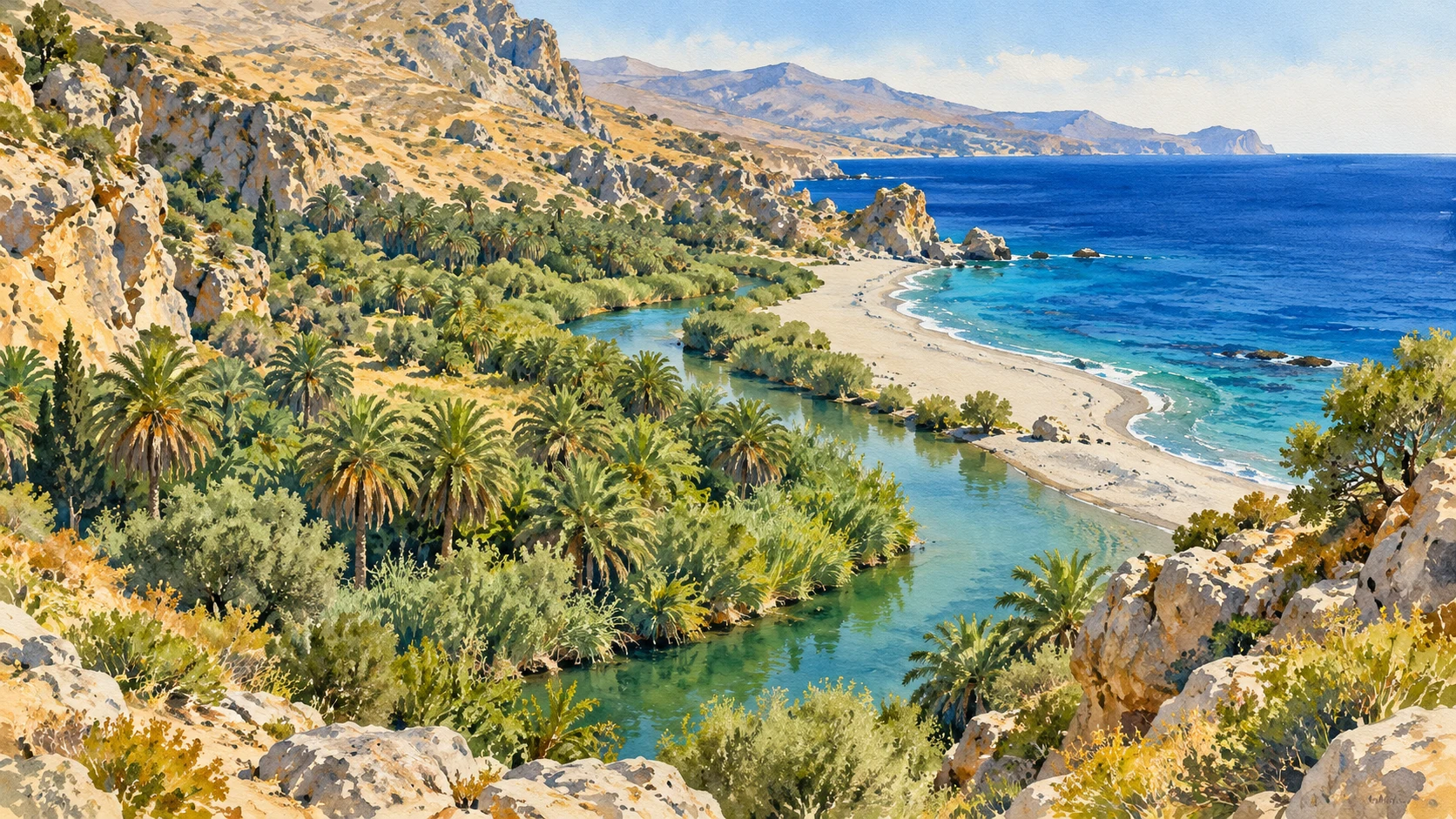
AI-Illustration · inspired by the estuary and palm trees at Preveli. Artistic impression, no exact terrain view.
RETHYMNO
08 · Preveli
Πρέβελη
Preveli brings together a estuary, palms and sea on the south coast of Rethymno. The transition between the fresh water and the coast gives the beach its own character. The river landscape is at least as important as the sand at the mouth.
Plan the entrance as part of the excursion: a descent should be reduced at the end, unless you use another confirmed connection. Take time for the allowed paths and stay outside closed vegetation. Our suggestion is a day with the emphasis on nature, without planning several far apart beaches at the back. So you can first look at the water and the palms and only then decide how long you stay.
Triopetra is a spacious sandy beach on the south coast. The characteristic rocks and the long coastline give the landscape a clear shape without much building needed. In our selection it stands for space, sea view and slow looking.
Walk along the water before choosing a place. Note wind, wave and the distance to a useful access. With a book and a long break, the place comes better to its right than with a quick visit between two rides. Stay well away from the foot of unstable rock walls and do not climb on a formation just because it is often on photos. The large beach landscape remains impressive from the sand.
At Agios Pavlos, rocks and sandy slopes form different bays. The municipal route description indicates that variety. Look here at the lines: sand that runs to the sea, rock that borders a bay and the horizon that opens the whole.
The village bay and the adjacent dune beaches are several places. Check where the access of the chosen part of the beach begins and which climb the way back. Choose existing authorised paths and do not randomly walk through dune vegetation. A quiet stay in one place results in more than always a steeper slope looking for another corner. Our tip: let the light and shape of the coast give rise to a beach walk, with a clear end point and plenty of drinking.
Plakias combines a wide south coast bay with a lively beach resort. The municipal tourist guide calls it one of the more furnished beaches of the south side. It deserves a place in this selection because beauty can also go with an easily accessible meal, a walk and a place where people live.
Choose whether you want to sit close to the village or look for another part of the bay. Then compare the actual conditions, shade and access. Do not take one description for the entire coastal strip. A nice day here can stay small: swimming when it fits, a long lunch and then another walk. Use Plakias as a basis for a individually prepared excursion to a neighbouring beach.
Damnoni is located in the vicinity of Plakias and is an attractive sandy bay for those looking for a clearly bordered coastal landscape. The bay shows how different a beach can feel at a short distance from a larger seaside resort: more attention to the arch between the land tongs and the water for it.
Our suggestion is to choose Damnoni as the main destination for half a day or a whole day, with a meal or a short walk in the area. Ask in advance which facilities are open during the season and see where the most suitable access is located. A coastline on a map is not a continuous walking path to every next bay. Limit your plan to what you can really relax and let weather and sea decide how to fill in the time.
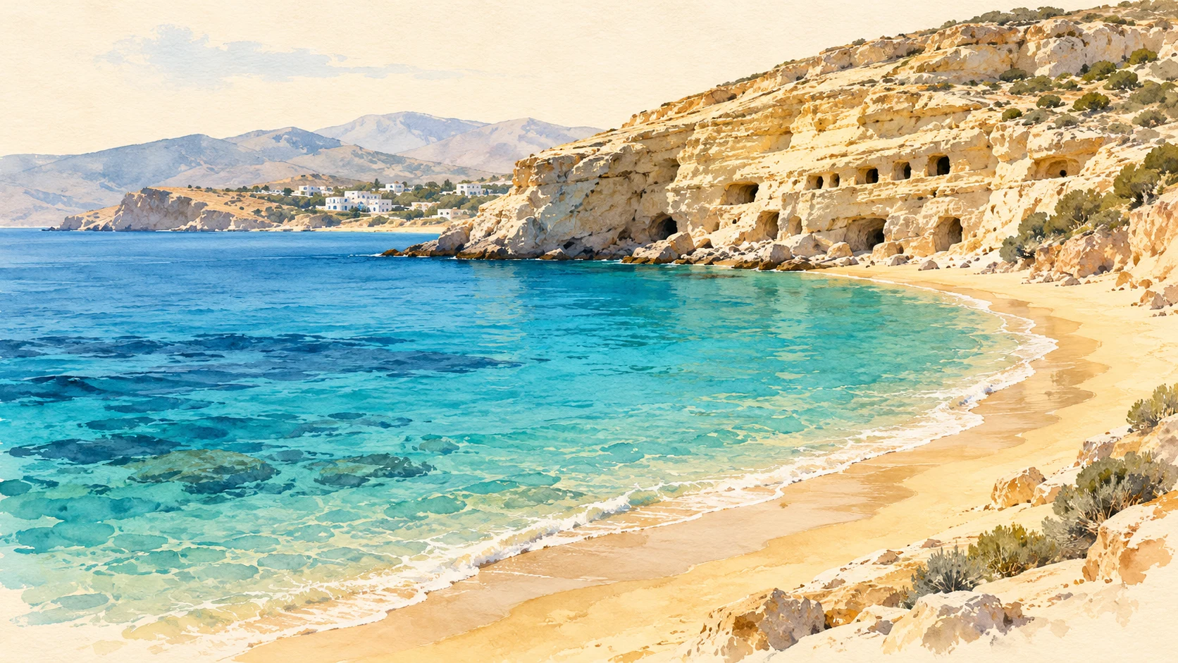
AI-Illustration · inspired by Matala's bay and rock wall. Artistic impression, no exact terrain view.
HERAKLION
13 · Matala
Μάταλα
Matala is known for its hippie history from the 1960s and 1970s, but the rocky spaces have a much older history. As a result, coastal experience, archaeology and modern memory are close together.
First take time for the beach and then look at the cliff as a heritage, with the current access and clues. The famous background is not a free climbing area. A meal in the village completes the visit without having to go straight to a second bay. Whoever comes for an event checks the official date separately; an annual festival doesn't say anything about the crowds or accessibility on any day of visit.
Kommos is located near Matala and connects a long sandy coast with the remains of an important antique harbour. Hellenic Heritage also points to the significance of the beach for the reproduction of the fake carret turtle, Caretta caretta. That makes the open coast more than a decor for a beach day.
Stay outside marked nests and respect local directions about equipment, lighting and use of the beach. An archaeological area next to a beach is not automatically accessible to the public. Our suggestion: choose a walk along the permitted coastal area and see the connection between beach and hinterland. The space and horizon give Kommos a different character than the compact bay of Matala; treat them as two different experiences, not as interchangeable stops.
Agiofarago is located where a gorge on the south coast reaches the sea. The beach is given its meaning by this approach: the cliffs and the open sea follow each other in one landscape. The gorge name is linked to the tradition of hermits who lived here in isolation.
If you come through the gorge, you can plan a walk with suitable footwear, water and a return route that remains feasible before dark. Inform local weather and route conditions; a gorge is not a suitable place to walk over heavy rain in doubt. A boat visit requires confirmation of departure and return. Our choice for this place is mainly about the transition from enclosed rock space to the wide sea. This experience takes time, even if the distance on a map seems small.
Kokkini Ammos, known as Red Beach, is located near Matala. The reddish sand and the boundary by rocks make it a striking counterpart of the village bay. It is a destination where the landscape of the run-up plays in the beach experience.
The published walking route starts in Matala. Check the current route and assess the climb and descent in both directions before you leave. Do not use the hike as a quick trip without water or grip at your feet. For us this is a choice for those who want to deliberately combine a walk on the beach with more terrain. If you are looking for easy access, amenities or a short break, it is better to stay in the main bay of Matala. That choice does not affect the beauty of the area.
AI-Illustration · inspired by the palm coast of Vai. Artistic impression, no exact terrain view.
LASITHI
17 · Vai
Βάι
Vai is one of the most recognizable landscapes of East Crete: a sandy bay for a natural palm grove. The difference between the dry hills and the green on the coast gives the place its strong character. The palms are the reason to look longer than just the color of the bathing water.
Stay on permitted trails and outside placed parts of the forest. Look at the whole area from a permitted higher point if it suits your needs. Our suggestion for a stay around Sitia: give Vai a quiet part of the day and leave plenty of time for the ride through the eastern landscape. The existing extensive Vai guide in this guide goes further into nature, the water behind the palm trees and the visit planning.
At Itanos, north of Vai, there are several sandy bays that can be reached by small paths. The proximity of the ancient city gives the coast a special background: beach and archaeological landscape are next to each other. The regional project describes three bays and a wetland that can emerge in winter.
Take food and drink with you and don't count on beach horeca. Choose an existing entrance and leave archaeological remains untouched. Our suggestion: limit yourself to one bay and a quiet view of the surrounding landscape. Only the presence of ruins is not allowed to walk into an excavation. Itanos suits those who want to connect a beach day with attention to place and history, without needing a large program.
Voulisma is located near Kalo Chorio in the municipality of Agios Nikolaos. The light sandy bay and bright blue make it a strong choice for those who want to experience the landscape around the Gulf of Mirabello. The beach is compact enough to read as one clear bay, while the colour of the water changes by light and wave.
Do not only use a place along the route as a photo stop: park where that is allowed and take time to view the access. Check the sea and the available space on site. For a relaxing day you can combine beach and a meal in the area. If you want to travel to Sitia, leave enough time for the rest of the ride; a nice stopover does not need to become a hasty schedule.
Xerokampos is a coastal area with several bays in the southeast. For this selection, Mazida Ammos stands as recognizable beach within that larger whole. The contrast between light beaches, olive groves and dry mountain land is the great attraction. The landscape gets space and feels different from the palm trees coast at Vai.
Make it a destination where you really stay. The mountainous approach route and the distances to the east deserve time. Choose a beach part in advance and check facilities for your season. Our suggestion: plan a long break at the sea and one meal in the area. Add only an extra stop if that makes the day quieter or richer. The far east comes better when you are not constantly on the road.
A beautiful beach day starts with an appropriate choice
Choose the region where you stay and then the beach. From East Kreta, Vai, Itanos and Xerokampos are more logical to explore than a quick ride to the western lagoons. From Chania, the variation of Akrotiri and the west coast is obvious. Keep rides, paths and a possible boat connection together.
A beach photo doesn't give you any current bathing advice. Look at winds, waves, flags and local directions and adjust your plan to the conditions. With children or limited mobility, full access is more important than the reputation of a beach. A shallow zone doesn't mean that a whole bay is suitable under all circumstances.
Bring drinks, sun protection and suitable footwear, keep away from marked nests and stay out of dune vegetation. Check any access restrictions for your date in nature areas. The best choice of the day can be an easily accessible beach nearby, with time for a meal and without a rushed return trip. Keep one alternative in the same environment.
Consulted on 21 October 2026. Actual background is based on the sources below. Visiting proposals and viewing questions are editorial suggestions. The AI illustration is an artistic interpretation and does not provide evidence of terrain, architecture or visible sky at any given date. Opening, transport, facilities and nature rules can be changed. The selection is not an assessment of current bathing safety.