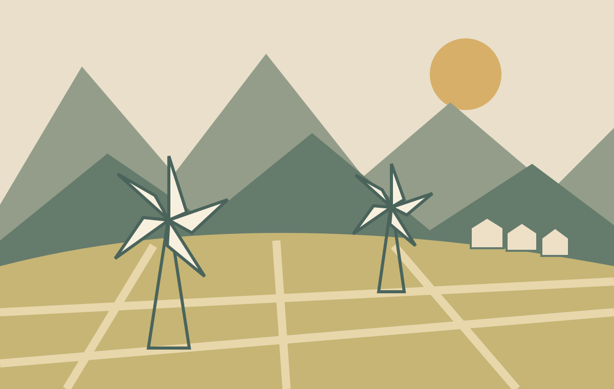
Akkers, villages and white sails in a high plain. A journey through the landscape of water and wind, with the cave of Zeus as the most famous story.
Οροπέδιο Λασιθίου · Τζερμιάδο · Ψυχρό
Editorial illustration · an imagination of the landscape, no photo or topographical map.
Region
Lasithi · East Crete
Landscape
Agricultural plain in the Dikti Mountains
Height as reference
Tzermiado · approx. 850 meters
Known for
Windmills, villages & Dikteon
01 · LASITHI-PLATEAU
A plain in the middle of the mountains
After the bends of the mountain road, another Crete opens: a wide agricultural plain with villages along the edges and mountains behind it. The Lasithi Plateau is located in the eastern interior, in the Dikti Mountains. Tzermiado is located at about 850 meters altitude; the exact height varies from place to place. Here you look over fields instead of sea.
Lasithi is also the name of one of the four regional units of Crete. The plateau forms its own landscape inside. The villages, mills and cave belong together as parts of the same high-rise environment. If you drive to the most famous attraction, you will soon see the plain from the car, but you will miss the connection.
When you arrive, take time for the whole. Where are the houses compared to the fields? How do the roads and locks run? Which slopes limit the open space? With these questions, a panorama photo turns into a small geography lesson. Watch the plateau later from a second allowed stop and compare what becomes visible from that other angle.
The plateau is a mountain-covered basin. The municipality describes how, after persistent heavy rains, water plains can be created temporarily. A flat and green plot in summer does not tell the whole story of the same land in winter. reservoirs are also part of the water management, including that at Agios Georgios.
For agriculture, drainage and irrigation are two sides of the same question: how do you get the right amount of water at the right time in a crop? Locks, pumps and storage are as essential for the landscape as the mountains. A wet period and a dry growing period require different solutions.
During a walk along a public road, take a look at the edge of a field. A ditch looks like a small detail, but makes it visible that this landscape is maintained. Do not walk over arable land to make a better picture. After heavy rain, a flooded road is not an invitation to try the depth; choose another, confirmed route.
The light turrets with sails are the most famous image of the plateau. Their original task was to pump up water for agriculture. Wind made the mechanism work, so farmers were less dependent on the difficult manual lifting of water. The white sails are therefore part of the history of irrigation and local technique.
The municipal description connects the first wooden pump mill around 1890 with Emmanuel Papadakis, nicknamed Spirtokoutis. Stefanos Markakis improved the design in the 20th century, including a metal construction. A local invention was further developed through practical experience: stability, operation and maintenance mattered.
The famous old sculptures of a plain full of rotating sails are no guarantee of what you will find during a contemporary visit. Mills can be out of use or without sails. Therefore, find the story in the construction: how is the head carried, where is the drive mechanism and what connects the mill to the plot? View this from a permitted place and leave parts unmoved.
At the northern entrance are the stone mills of Seli Ampelou. They had a different function than the pumpmills in the fields: here grain was ground. Their sturdy construction and position at the pass tell a different technical story than the light towers below.
The municipality describes an original complex of 26 mills and mentions that it was protected as a work of art in 1986. Part of the ensemble came from another location near Potamoi to this pass at the end of the nineteenth century. The visible mills thus also form a history of relocation and reuse.
A simple viewing command: compare one stone mill on the pass with a pump mill on the plain. Note the material, environment and the work that was done with it. That difference makes the old farming system understandable. Stop only where parking is allowed and safe; a view next to a mountain road is not automatically an appropriate parking space.
The altitude and enclosed location made the plateau a refuge in the past and an area where authority was difficult to enforce. The municipal history of Agios Georgios tells about Venetian bans on habitation, followed by a later return of agriculture. Fertile land had economic value, also for rulers who wanted to evacuate the area earlier.
The same source describes how temporary stays of farmers grew into villages and how the Venetians built drainage works. So the landscape that now looks rural and self-evident is also the result of political decisions and water construction. The current fields bear a much longer history than one harvest season.
Read this history on two scales: the major intervention in the plain and the small house or yard on the edge of the village. One tells about governance and production, the other about living and daily work. Not every visible building is Venetian; use local explanations to recognize age and function.
Tzermiado, also written Tzermiadon, is the seat of the municipality. The municipal village description mentions potatoes, fruits and vegetables as important crops. It is a good place to understand the connection between administrative center, amenities and agriculture. Take a village break in your itinerary instead of driving alone between attractions.
Agios Georgios offers another entrance through the folk museum. The collection was built up with objects that residents donated. Such utensils bring work, household and memory closer than a panorama photo. Check in advance if and when the museum is accessible.
Mesa Lasithi is located on the east side of the plain, near the Krousstallia monastery. The municipality points to a tradition of church carving. Psychro, also written Psixro, is located under the Dikteon cave and has a prominent visitor function. Put these two villages next to each other: what stories are in the street view in the foreground, crafts or the route to a famous place?
The potatoes and other vegetables from the village description of Tzermiado show how strongly the plateau is linked to agriculture. At the same time, the attractive pattern of parcels is a working environment. What grows in one day depends on season, business choices and the place; a travel guide cannot give a fixed harvest calendar for each field.
Use a meal as a reason to ask. Which vegetables are available locally today? How are potatoes prepared here? Is a dish a daily preparation or especially a specialty for visitors? A concrete conversation about what is on the plate works better than expected that each case offers the same typical plateau menu.
Our suggestion: choose one seasonal dish and ask for the origin of the main ingredient. Then write down what you have tasted and what someone has told you. This way you keep your taste and origin apart and create a personal travel story without making one meal a conclusion about the whole region.
Above Psychro lies the Dikteon cave, also called Diktaion Antron or the cave of Zeus. The municipality gives an altitude of 1,25 meters in front of the cave. In the well-known mythological tradition this place is connected to the birth of Zeus. That's a story handed down; archaeological finds show how people used and worshiped the cave.
The municipal description includes pottery, bronze figures and double axes. The cave also contains stalactites, stalagmites and columns. These natural forms and the traces of human presence give two different time scales to the same space: rock changes slowly, while humans give meaning to it.
Access includes an entrance from Psychro and then height differences at the cave visit. Ask for the current opening, route, stairs and accessibility before visiting. Older online descriptions do not prove that every passage on your visit day is available. Do not touch dripping stone and follow the instructions on site; even a small contact can affect a vulnerable surface.
At Tzermiado lies the Trapeza cave, also called Kronio. The municipal information mentions excavations by John Pendlebury in 1935 and finds from various periods. The cave gives rise to looking beyond the most famous Zeus tradition: habitation, burial and worship belong to a longer history of human presence.
Karfi is a prehistoric site high above the northern access to the plateau. The municipal route page places the famous settlement in the Late-Minoan period, around 1200b.C. The view and its high location invite you to think about the relationship between a settlement and its surroundings.
Treat both sites as a separately prepared extension. A route indication is not a current guarantee about path condition, signposting or access to an archaeological location. Choose a walk based on local information, weather and experience. If you want to see the farmland and the villages, you don't need to go on a mountain tour.
Plan the plateau as a mountain destination and check an expectation for the right altitude. A sunny coastal day does not say enough about wind, clouds and temperature of feeling in the interior. Take an extra layer and adjust walking plans to the local conditions.
In the spring you can focus on the transition between slopes, villages and fields. In summer it is wise to plan longer stretches at a time that fits the temperature and sun. In autumn the country gets a different rhythm; ask locally what is harvested and which spots are open. In winter conditions current road messages and expectations are decisive.
The climate guide in this guide contains thirty years of data for selected coastal points. These figures are not a measured average for the Lasithi Plateau. Use them to understand the larger Cretan climate and keep the local expectations separate. A walk planning requires information for the next hours, not a monthly average from another place.
Choose a few clear accents in advance: landscape and mills, a village and meal, or cave and history. The mountain roads are part of the day. Compute space for curves, quiet traffic and breaks; a distance in kilometres does not automatically translate into a fixed journey time.
For your own transport, a downloaded map and pre-selected stops help. Keep agricultural traffic space and leave narrow accesses. If you want to travel by public transport, check the current KTEL schedule, return and return journeys and the distance from the stop to your destination. A general mention that there is bus transport does not say anything about the service on your date.
Ask at a cave or museum for full access if stairs or uneven surfaces are a restriction. Bring drinks and shoes with grip. Save phone numbers or confirmations you need on the way before you leave. This leaves more attention to the landscape itself on the ground.
Our editorial proposal starts with an overview at a allowed stop. You can come through Seli Ampelou, check out the stone mills and then find the difference with a pump mill on the plain. This way the panorama gets a story, without having to drive off every mill.
Then choose one main destination. This can be the village of Psychro with a pre-controlled cave visit, or Agios Georgios with a museum visit when that is open. Plan a meal and a short walk as a full part of the day. Only then decide if a second stop fits nicely.
Close with a different view of the plain: from a village on the edge or from a safe public place. What details do you not see on arrival? With more time you can plan a walk separately or consider a night in the area. Keep the program loose enough to give again, closed doors or a good conversation space.
Choose what suits your day
Four ways to discover the plateau
Interested
Start with
Preparation
Landscape & engineering
Seli Ampelou and the pumping mills
A safe stop; respect for private land
Villages & daily life
Tzermiado and Agios Georgios
Check the museum opening in advance
Cave & mythology
Psychro and Dikteon
Check current access, access and stairs
Archaeology & Walk
Kronio or Karfi
A suitable route, local advice and mountain weather
Map · plateau and villages
This region map helps with orientation. The search links show places; they do not constitute a controlled walking route or indication for a parking space.
Consulted on 21 October 2026. The actual descriptions are based on the official municipal information of the Lasithi Plateau. Viewing questions, meal suggestions and the daily schedule are editorial proposals. Zeus tradition is treated as mythology. No local climate averages are derived from coastal data. For opening hours, rates, route conditions and transport current confirmation is required.